Mangrove channels
Boat routes weave through sheltered forested water.
Plan the least frequent boat, ferry or exposed coastal section first. Use early or late light and keep a weather alternative during Dec-Apr.
Mangroves, limestone towers and cave systems create a flooded karst landscape on the edge of Samana Bay.
Boat routes weave through sheltered forested water.
Plan the least frequent boat, ferry or exposed coastal section first. Use early or late light and keep a weather alternative during Dec-Apr.
The details that make Los Haitises different.
Boat routes weave through sheltered forested water.
Steep limestone hills create a distinctive skyline above the bay.
Rock shelters preserve evidence of Indigenous cultural use.
Mangroves, limestone towers and cave systems create a flooded karst landscape on the edge of Samana Bay. Its character becomes clearer when geology, settlement and modern protection are considered together.
Los Haitises occupies a protected coastal region in northeastern Dominican Republic. Mangroves, limestone towers and cave systems create a flooded karst landscape on the edge of Samana Bay. Los Haitises links the interior karst of Hispaniola with the marine ecosystems of Samana Bay and the wider Caribbean coast.
The strongest visual shorthand for Los Haitises is the experience described as “Mangrove channels”. Behind it lies a more complex relationship between physical processes, settlement and the modern idea of the place as a destination. Boat routes weave through sheltered forested water.
Continue to practical planningAt Los Haitises, the physical story begins with the structure of the ground. Rounded limestone hills rise from forest and shallow water, while channels move through dense mangrove systems.
At Los Haitises, the landscape is measured by flooding and drainage rather than height. “Mangrove channels” makes that seasonal geometry visible. Boat routes weave through sheltered forested water.
Los Haitises has been shaped as much by livelihoods and movement as by natural processes. Caves contain Indigenous rock art, and nearby communities maintain fishing and boat connections with the bay.
At Los Haitises, “Karst mogotes” should not be treated as a decorative detail. Steep limestone hills create a distinctive skyline above the bay. The feature records how construction, movement or livelihood adapted to local conditions at Los Haitises.
Formal protection changed how Los Haitises was described and managed. At Los Haitises, new boundaries, visitor rules and conservation priorities created a public identity that still has to coexist with settlements, customary use and economic pressures. Los Haitises should therefore be read as an evolving cultural landscape rather than a timeless scene.
Look closely at the feature “Mangrove channels” in Los Haitises; it carries information that a panoramic view can miss. Boat routes weave through sheltered forested water. At Los Haitises, it gives a concrete reference point for reading change rather than merely collecting viewpoints.
At Los Haitises, the feature “Karst mogotes” provides a precise clue to how the landscape works. Steep limestone hills create a distinctive skyline above the bay. At Los Haitises, the detail links local scale with the wider regional pattern.
At Los Haitises, the feature “Cave art” is one of the most useful pieces of visible evidence. Rock shelters preserve evidence of Indigenous cultural use. For Los Haitises, that relationship is more informative than treating the feature only as a photograph or checklist item.
At Los Haitises, light, water and temperature reveal different structures at different times of year. The drier winter months are generally most comfortable; tropical rain can affect water clarity and access throughout the year.
For Los Haitises, the main seasonal constraint is: the strongest planning window is Dec-Apr. For Los Haitises, outside it, check weather, daylight, road or ferry schedules and seasonal closures before committing to a fixed route.
For Los Haitises, one practical detail matters: wind, sea state and tide can matter as much as distance. For Los Haitises, check conditions before boat trips, exposed cliffs or tidal sections.
Placed within its wider geography, Los Haitises is not an isolated exception. Los Haitises links the interior karst of Hispaniola with the marine ecosystems of Samana Bay and the wider Caribbean coast.
At Los Haitises, “Mangrove channels, Karst mogotes and Cave art” forms a practical cross-section when connected with surrounding routes and settlements, rather than treated as a set of unrelated attractions. At Los Haitises, movement organised by car or local transport, plus coastal walks and occasional boat links reveals which parts of the landscape have remained difficult to reach or costly to maintain. At Los Haitises, the usual effort level, moderate, is not just a visitor rating; it reflects gradients, exposure or transport gaps that shaped local use before leisure travel. Within Samana Bay, these relationships distinguish Los Haitises from superficially similar destinations and explain why a slower, connected reading produces more understanding than a rapid series of stops.
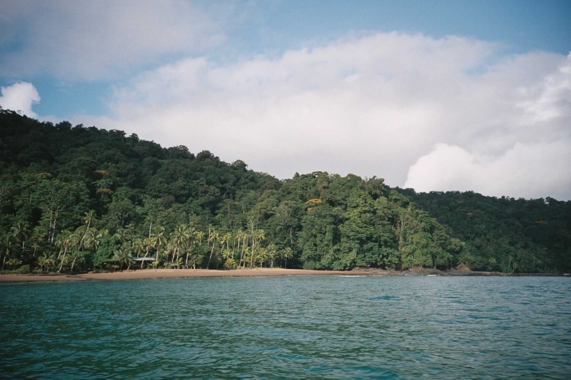
Rainforest descends directly to dark beaches, mangroves and a powerful Pacific coast in one of the wettest regions of the Americas.
Explore this place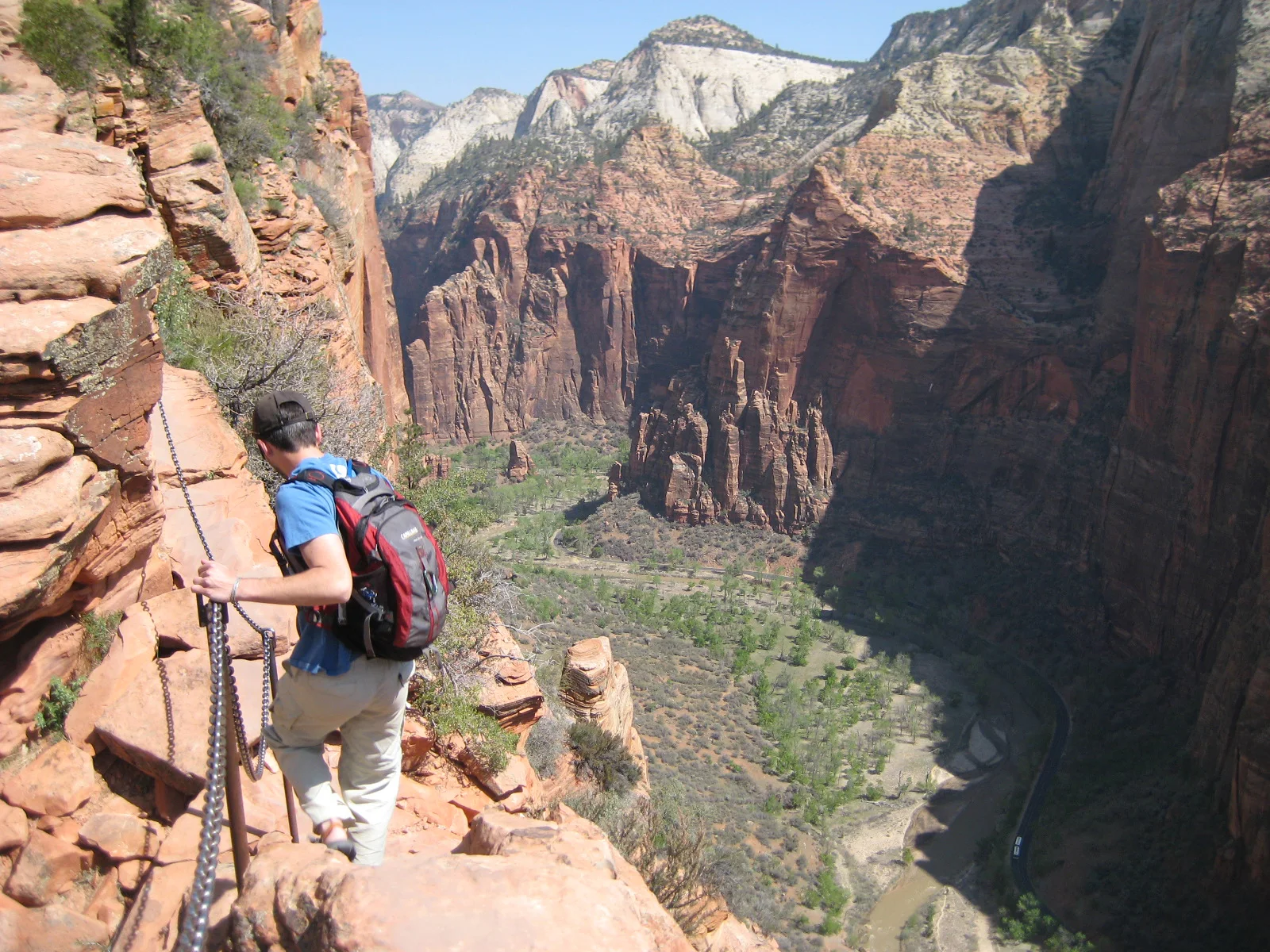
A steep trail climbs Walter’s Wiggles and an exposed chain-protected fin above Zion Canyon.
Explore this place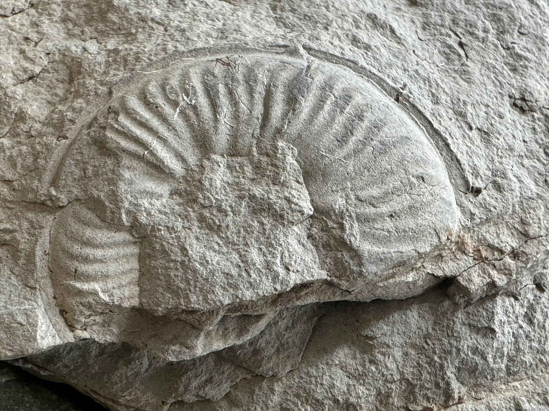
Limestone canyons, waterfalls and a long shipwreck coast define a large island in the Gulf of St Lawrence.
Explore this place